
North Pacific Coast Lead Entity
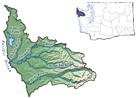
The North Pacific Coast Lead Entity is comprised of Watershed Resource Inventory Area (WRIA) 20. The area encompasses 935,250 acres that drain into the Pacific Ocean and more than 80 miles of coastline from Cape Flattery south to the Steamboat Creek drainage of the Hoh River basin. The largest drainage is the centrally located Quillayute River watershed with its four major sub-basins: the Dickey, Calawah, Bogachiel, and Sol Duc rivers. The north end is dominated by the extensive stream basin of Lake Ozette and the independent drainages of the Tsoo-yess and Wa’atch rivers.
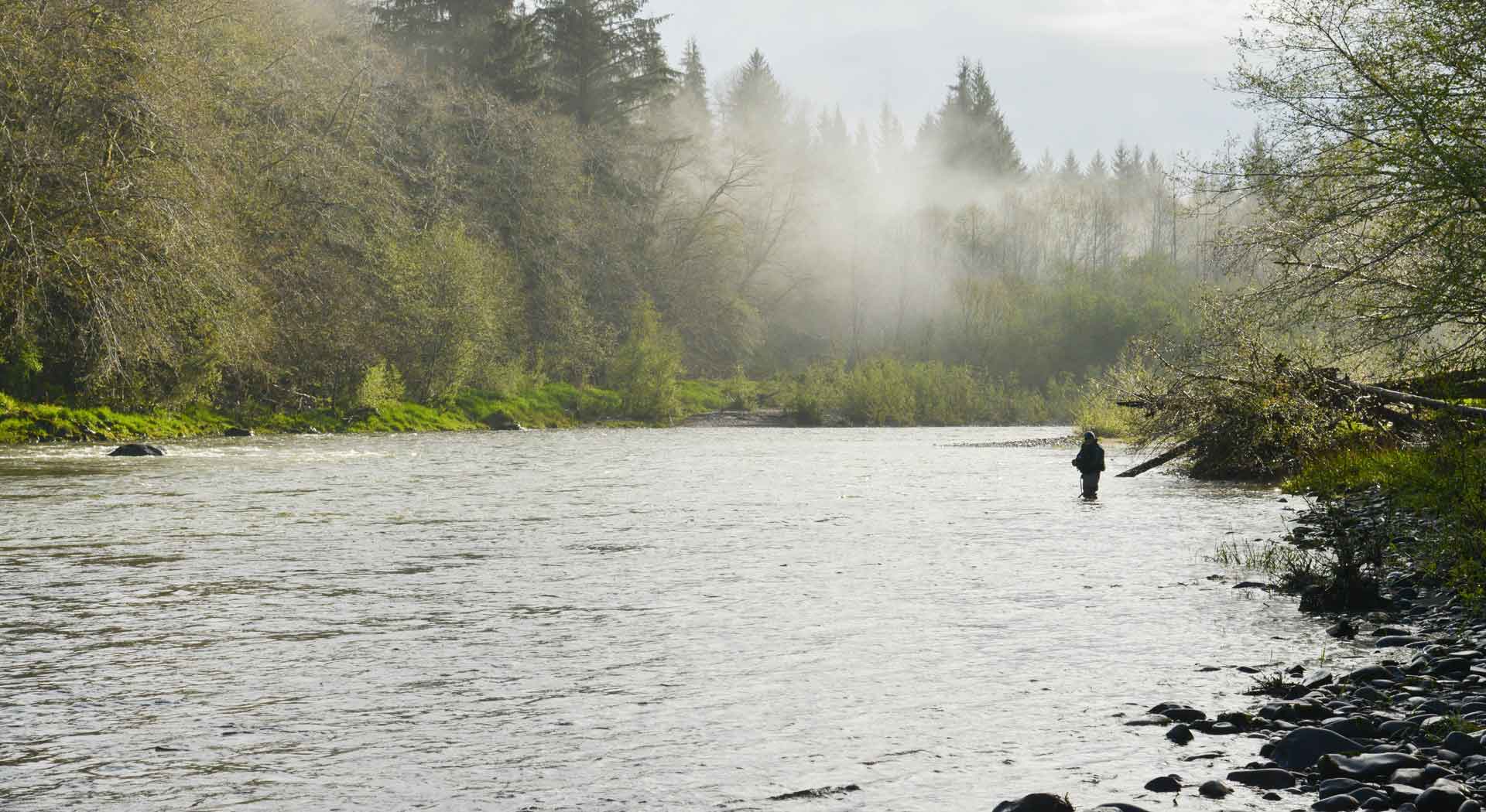
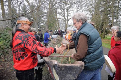
The area can experience more than 240 inches of rainfall a year. Forests dominate the region, with the lower elevations of the river systems mostly in privately or government-owned commercial forestry. Three tribes own reservation lands with an extensive overlay of indigenous usual and accustomed hunting and fishing areas covering each watershed. The relatively small remainder of land is in diverse rural residential, recreational, and agricultural use. There are several small urban centers with the city of Forks as the largest.
The primary goal of the Lead Entity is to maintain and improve ecosystem productivity and genetic diversity for all salmon species by protecting highly productive habitats and populations, and restoring impaired habitat and populations. To accomplish this goal, the Lead Entity uses the best available science to set priorities, incorporate socio-political factors in decision-making, and help provide direction and focus for the success of project sponsors.
North Pacific Coast Lead Entity Official Release for Public Review: 2026 Edition of the North Pacific Coast (WRIA 20) Salmon Restoration Strategy. Open for comments until May 1, 2026. Please send comments or questions to Anna Geffre, NPCLE Coordinator, at ageffre@nwifc.org; phone number 360-438-1180 ext. 575.
2026 Edition of the North Pacific Coast (WRIA 20) Salmon Restoration Strategy
North Pacific Coast Lead Entity Meeting Schedule
August 18, 2026
Hybrid Meeting
Agenda
Minutes
September 15, 2026
Hybrid Meeting
Agenda
Minutes
October 20, 2026
Hybrid Meeting
Agenda
Minutes
November 17, 2026
Hybrid Meeting
Agenda
Minutes
December 15, 2026
Hybrid Meeting
Agenda
Minutes